Weekend of September 11, 2026–13
South Carolina outdoor ideas for September 11–13
Six flexible South Carolina outdoor ideas for September 11–13, with the weather, water, tide, alert, and access checks that should shape each plan.

September can feel like summer at midday and a different season during the first hours of the day. This edition emphasizes early starts, plans that can shrink when heat or storms build, and destinations where connected observations can answer part of the question without pretending to describe every trail, cove, landing, or beach.
01
Best for a cooler-hour mountain start
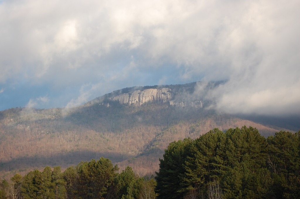
Table Rock State Park
Treat the summit route as an early objective with a firm turnaround time, and keep a shorter park walk available if weather, heat, or the group’s pace removes the margin.
Why it fits this weekend
Table Rock is the strongest fit for hikers who can begin early and make a route decision before leaving the trailhead. The representative forecast helps with heat, rain, and storm planning, while the official South Carolina State Parks page remains the source for access and trail notices.
Check before leaving
- NWS point forecast and active alerts
- Official Table Rock State Park notice and trail information
- Route distance, water, daylight, and turnaround plan
02
Best for a flexible lake morning
Lake Murray
Choose the launch and distance only after checking wind, thunderstorm timing, the latest connected water observation, and the operator of the access point you intend to use.
Why it fits this weekend
Lake Murray gives boaters and shoreline visitors several ways to shorten or relocate a plan. A current gauge and point forecast provide useful reference signals, but neither confirms conditions across the reservoir or whether a particular ramp, marina, park, or swim area is open.
Check before leaving
- Current NWS forecast, wind, and alerts
- Connected lake-level observation and timestamp
- Official status for the selected ramp, park, or marina
03
Best for a tide-aware coast day
Hunting Island State Park
Build the visit around a named tide station and keep beach hazards, water quality, lighthouse-area access, and park operations as separate official checks.
Why it fits this weekend
Hunting Island works well when the beach walk, maritime forest, and park facilities are treated as adjustable parts of the day. Tide predictions help with timing but do not rate swimming safety, surf, erosion, or access at a specific stretch of shoreline.
Check before leaving
- NOAA tide prediction and NWS coastal forecast
- Beach-hazard messaging and SC swimming advisories
- Official Hunting Island State Park operating notice
04
Best for a carefully scoped paddle
Cedar Creek
Use the connected creek gauge as one route reference, then confirm National Park Service notices, weather, distance, obstructions, and the exact launch and take-out plan.
Why it fits this weekend
Cedar Creek is a good candidate only when the group understands that one station cannot describe the whole paddle. Recent rain, downed trees, floodplain conditions, navigation, and paddling speed can matter as much as the reported gauge height.
Check before leaving
- Cedar Creek gauge observation and recent trend
- NWS forecast and alerts for Congaree
- NPS conditions, route guidance, and launch information
05
Best for an early waterfall hike
Raven Cliff Falls
Start with enough daylight and weather margin for the full out-and-back, and do not use a regional forecast as proof that the trail surface or access road is clear.
Why it fits this weekend
Raven Cliff Falls suits a group prepared for a sustained trail outing rather than a quick roadside stop. Heat, thunderstorms, rain-slick surfaces, water, and turnaround timing should determine whether the full route still fits the day.
Check before leaving
- NWS point forecast and active alerts
- Official trail and land-manager information
- Footwear, water, daylight, and turnaround margin
06
Best for a timed beach walk
Folly Beach County Park
Use tide timing to shape the walk, then separately verify coastal weather, beach hazards, swimming advisories, parking, and county-park access.
Why it fits this weekend
Folly Beach County Park is most flexible when the plan is not built around swimming alone. A tide prediction can help choose the walking window, but surf, rip currents, water quality, wind, heat, and parking conditions each require their own current source.
Check before leaving
- Connected NOAA tide prediction and station relationship
- NWS coastal forecast and beach-hazard messaging
- SC swimming advisories and Charleston County Parks access