Official notices
Active alerts
Know the place
Overview
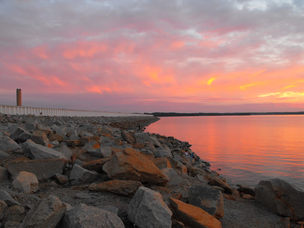

A broad Midlands reservoir known for boating, striped bass fishing, island shorelines, and public recreation areas. SC Outdoor Check combines available official weather, water, and alert signals for pre-trip planning.
Original trip-planning analysis
Plan your Lake Murray visit
A useful Lake Murray check separates weather from water. Wind, thunderstorms, heat, and NWS alerts are available here alongside a reviewed USGS lake-elevation station near the dam. That point reading does not describe waves, ramps, or every part of the reservoir.
What should boaters check before launching?
Start with wind and active NWS alerts, then confirm the chosen ramp and lake information with the managing utility. Conditions can differ across a reservoir this large, and a favorable reading at the representative weather point does not describe every cove or open-water crossing.
When should a Lake Murray trip be reconsidered?
Reconsider exposed boating during strong or increasing wind, thunderstorms, severe alerts, or poor visibility. Swimming and paddling also require a local access and water-quality check because those signals are not inferred from weather alone.
Common planning questions
Frequently asked questions
Does this page show Lake Murray's live water level?
Yes. The page uses the USGS Lake Murray station near Columbia for a current lake-elevation point reading. It is not a whole-lake safety rating and does not replace ramp, access, wind, or local water checks.
Are Lake Murray conditions the same everywhere?
No. Shoreline, coves, open water, wind exposure, boat traffic, and storms vary around the lake. Treat the displayed weather as a planning reference for the mapped point.
Where should I confirm ramps and access?
Use the official managing-source links on this guide for current ramp, shoreline, rule, and operational information before departure.
Connected official data
Relevant condition signals
Boating
- Weather
- Favorable
- Activity
- Favorable
- Confidence
- Complete
Available official signals look favorable for planning.
Last official observation: Sep 8, 9:35 AM EDT
Contributing official sources: NWS, USGS
Official observations are planning signals, not a safety guarantee.
Fishing
- Weather
- Favorable
- Activity
- Favorable
- Confidence
- Complete
Available official signals look favorable for planning.
Last official observation: Sep 8, 9:35 AM EDT
Contributing official sources: NWS, USGS
Official observations are planning signals, not a safety guarantee.
Kayaking
- Weather
- Favorable
- Activity
- Favorable
- Confidence
- Complete
Available official signals look favorable for planning.
Last official observation: Sep 8, 9:35 AM EDT
Contributing official sources: NWS, USGS
Official observations are planning signals, not a safety guarantee.
Overall visit
- Weather
- Favorable
- Activity
- Favorable
- Confidence
- Complete
Available official signals look favorable for planning.
Last official observation: Sep 8, 9:35 AM EDT
Contributing official sources: NWS, USGS
Official observations are planning signals, not a safety guarantee.
Source-by-source coverage
Condition coverage for this place
Only relevant modules are shown. “Connected” is retrieved here; “Official check” links to a source that still requires a manual check.
Retrieved for this destination.
Retrieved for this destination.
Retrieved for this destination.
Use the linked official source; this signal is not retrieved yet.
Check official status ↗Before you leave
Access and practical details
- Hours
- Gate, office, facility, and seasonal hours may differ. Check the official source before departure.
- Fees
- No fixed fee is asserted here because admission, parking, tour, and overnight charges can change. Check the official source.
- Parking
- Access points and launch parking vary around the lake. Choose a facility on the official managing-source page before departure.
- Accessibility
- Accessibility varies by access point, trail, and facility. Review the managing source or contact the site for the current accessible route.
- Wind can build quickly across open water.
- Check access rules and ramp conditions with the managing agency before departure.
Planning notes reviewed 2026-08-01 from theofficial managing source. Hours, fees, access, and facilities can change seasonally.