Official notices
Active alerts
Know the place
Overview
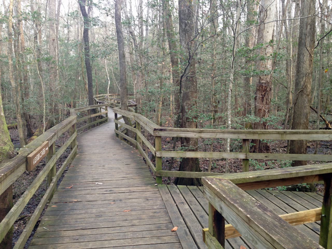

A nationally protected old-growth bottomland forest with boardwalks, trails, backcountry routes, and the Cedar Creek canoe trail. SC Outdoor Check combines available official weather, water, and alert signals for pre-trip planning.
Original trip-planning analysis
Plan your Congaree National Park visit
Congaree planning depends on heat, storms, floodplain water, insects, trail or boardwalk notices, and daylight. This guide combines NWS, USGS, and NPS signals while preserving the difference between a current observation and conditions across the full floodplain.
Which connected signals are most useful at Congaree?
NWS weather and alerts help with heat and storms; the reviewed Cedar Creek gauge adds local water context; NPS alerts can identify operating or trail notices. Read them together because none describes every trail or low area.
When is the boardwalk the more conservative plan?
When heat, recent rain, uncertain trail footing, limited daylight, or changing water makes a longer backcountry route unattractive, the boardwalk can offer a shorter visit. It still requires weather, park-notice, and personal-preparation checks.
Common planning questions
Frequently asked questions
Does the Cedar Creek gauge show conditions across Congaree?
No. It is a reviewed local reference. Floodplain trails, sloughs, the Congaree River, and distant areas can differ materially.
Are National Park Service alerts connected?
Yes, when the production NPS API key and upstream service are available. Source health remains visible so a failed retrieval is not mistaken for no alerts.
Does no active alert mean every trail is dry and open?
No. Check the official park page and current on-site notices; absence of a retrieved alert cannot confirm every route or facility.
Connected official data
Relevant condition signals
Hiking
- Weather
- Favorable
- Activity
- Favorable
- Confidence
- Complete
Available official signals look favorable for planning.
Last official observation: Sep 8, 8:55 AM EDT
Contributing official sources: NWS, NPS
Official observations are planning signals, not a safety guarantee.
Kayaking
- Weather
- Favorable
- Activity
- Insufficient Data
- Confidence
- Partial
Insufficient critical data for a favorable activity rating.
Last official observation: Sep 8, 8:55 AM EDT
Contributing official sources: NWS, NPS
Missing critical checks: connected water and access conditions
This rating is intentionally limited until the missing critical sources are checked.
Fishing
- Weather
- Favorable
- Activity
- Insufficient Data
- Confidence
- Partial
Insufficient critical data for a favorable activity rating.
Last official observation: Sep 8, 8:55 AM EDT
Contributing official sources: NWS, NPS
Missing critical checks: connected water and access conditions
This rating is intentionally limited until the missing critical sources are checked.
Overall visit
- Weather
- Favorable
- Activity
- Favorable
- Confidence
- Complete
Available official signals look favorable for planning.
Last official observation: Sep 8, 8:55 AM EDT
Contributing official sources: NWS, NPS
Official observations are planning signals, not a safety guarantee.
Source-by-source coverage
Condition coverage for this place
Only relevant modules are shown. “Connected” is retrieved here; “Official check” links to a source that still requires a manual check.
Retrieved for this destination.
Retrieved for this destination.
Use the linked official source; this signal is not retrieved yet.
Check official status ↗Retrieved for this destination.
Before you leave
Access and practical details
- Hours
- Gate, office, facility, and seasonal hours may differ. Check the official source before departure.
- Fees
- No fixed fee is asserted here because admission, parking, tour, and overnight charges can change. Check the official source.
- Parking
- Main, trailhead, boat-access, and overflow parking may be separate. Use the official park page to plan arrival.
- Accessibility
- Accessibility varies by access point, trail, and facility. Review the managing source or contact the site for the current accessible route.
- Flooding can close trails and sections of the boardwalk.
- Mosquitoes, heat, and humidity can be significant seasonally.
Planning notes reviewed 2026-08-01 from theofficial managing source. Hours, fees, access, and facilities can change seasonally.