Official notices
Active alerts
Know the place
Overview
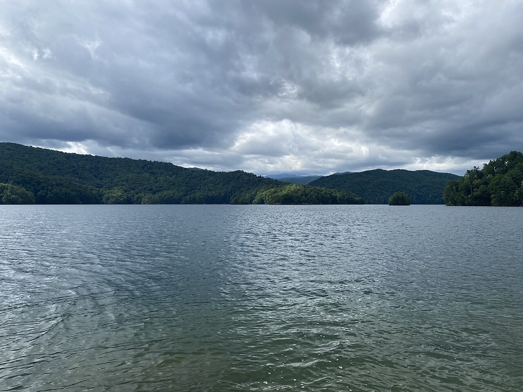

A deep Upstate reservoir ringed by protected mountain land and reached primarily through Devils Fork State Park. This page provides a verified planning overview and links to the managing authority for current operational details.
Original trip-planning analysis
Plan your Lake Jocassee visit
Lake Jocassee is a deep mountain reservoir where wind, thunderstorms, cold water, remote shoreline, and access logistics can matter together. This guide provides weather and alert context but does not claim a live reservoir-level or water-temperature feed.
What should paddlers and boaters evaluate?
Check wind, storm timing, visibility, temperature, route exposure, distance from access, and the capabilities of the group. Mountain weather and open-water crossings can change a plan even when the launch area appears calm.
Where should access be confirmed?
Devils Fork State Park is the principal public planning companion in this guide. Confirm park operations, parking, ramps, reservations, and any lake-management notice through the linked official sources.
Common planning questions
Frequently asked questions
Does this page show Lake Jocassee water temperature or level?
No. Those signals are not connected, and the guide does not substitute a nearby river observation for reservoir conditions.
Can shoreline conditions differ from open water?
Yes. Wind exposure, waves, boat traffic, shade, depth, and distance from shelter can vary significantly across the reservoir.
Is a favorable weather outlook a safety guarantee?
No. It is planning context only. Equipment, water temperature, route choice, operator skill, local rules, and changing conditions remain essential.
Connected official data
Relevant condition signals
Boating
- Weather
- Favorable
- Activity
- Insufficient Data
- Confidence
- Partial
Insufficient critical data for a favorable activity rating.
Last official observation: Sep 8, 9:35 AM EDT
Contributing official sources: NWS
Missing critical checks: current USGS water data
This rating is intentionally limited until the missing critical sources are checked.
Fishing
- Weather
- Favorable
- Activity
- Insufficient Data
- Confidence
- Partial
Insufficient critical data for a favorable activity rating.
Last official observation: Sep 8, 9:35 AM EDT
Contributing official sources: NWS
Missing critical checks: current USGS water data
This rating is intentionally limited until the missing critical sources are checked.
Kayaking
- Weather
- Favorable
- Activity
- Insufficient Data
- Confidence
- Partial
Insufficient critical data for a favorable activity rating.
Last official observation: Sep 8, 9:35 AM EDT
Contributing official sources: NWS
Missing critical checks: current USGS water data
This rating is intentionally limited until the missing critical sources are checked.
Swimming
- Weather
- Favorable
- Activity
- Insufficient Data
- Confidence
- Partial
Insufficient critical data for a favorable activity rating.
Last official observation: Sep 8, 9:35 AM EDT
Contributing official sources: NWS
Missing critical checks: current USGS water data
This rating is intentionally limited until the missing critical sources are checked.
Overall visit
- Weather
- Favorable
- Activity
- Insufficient Data
- Confidence
- Partial
Insufficient critical data for a favorable activity rating.
Last official observation: Sep 8, 9:35 AM EDT
Contributing official sources: NWS
Missing critical checks: current USGS water data
This rating is intentionally limited until the missing critical sources are checked.
- No supported live water station is configured.
Source-by-source coverage
Condition coverage for this place
Only relevant modules are shown. “Connected” is retrieved here; “Official check” links to a source that still requires a manual check.
Retrieved for this destination.
Retrieved for this destination.
No supported live source is configured for this destination.
Use the linked official source; this signal is not retrieved yet.
Check official status ↗Before you leave
Access and practical details
- Hours
- Gate, office, facility, and seasonal hours may differ. Check the official source before departure.
- Fees
- No fixed fee is asserted here because admission, parking, tour, and overnight charges can change. Check the official source.
- Parking
- Access points and launch parking vary around the lake. Choose a facility on the official managing-source page before departure.
- Accessibility
- Accessibility varies by access point, trail, and facility. Review the managing source or contact the site for the current accessible route.
- NWS weather and alerts are connected for this verified coordinate.
- Use the official destination page for current closures and operational notices.
Planning notes reviewed 2026-08-01 from theofficial managing source. Hours, fees, access, and facilities can change seasonally.